About ESA
The European Space Agency (ESA) is Europe’s gateway to space. Its mission is to shape the development of Europe’s space capability and ensure that investment in space continues to deliver benefits to the citizens of Europe and the world.
Highlights


Latest


Space in Member States
Find out more about space activities in our 23 Member States, and understand how ESA works together with their national agencies, institutions and organisations.
 Germany
 Austria
 Belgium
 Denmark
 Spain
Spain
 Estonia
 Finland
 France
 Greece
 Hungary
 Ireland
 Italy
Italy
 Luxembourg
 Norway
 The Netherlands
 Poland
 Portugal
 Czechia
 Romania
 United Kingdom
 Slovenia
 Sweden
 Switzerland
Science & Exploration
Exploring our Solar System and unlocking the secrets of the Universe
Go to topicAstronauts


Latest


Enabling & Support
Making space accessible and developing the technologies for the future
Go to topicLatest


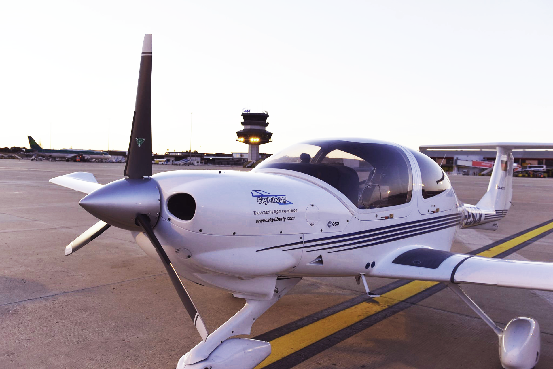
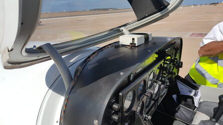
Light aircraft used to test SkyLiberty device for flight planning and navigation
An app that integrates navigational data and weather conditions to improve flight safety for pilots has been launched. Its inventors hope to have a full commercial version on sale by the end of the year.
Preparing a flight plan can be a long and arduous task for pilots, who have to process large quantities of information on weather patterns, ground topology, the flights of other aircraft and fuel consumption.
The SkyLiberty aeronautical navigation support service, developed in partnership between ESA and a Belgian company called ESNAH, aims to overcome these difficulties using a single device.
It integrates aeronautical, geographical and meteorological data with information on airspace regulations.
SkyLiberty helps pilots to devise a tailored flight plan. Once airborne, the device informs them of their precise location and the weather conditions ahead.
Because the device is programmed with information on airspace regulations, SkyLiberty can alert pilots and their ground-based support if the aircraft starts to drift towards restricted airspace, such as the areas around commercial airports or buildings such as nuclear reactors.
The device enables two-way communication between the pilots and the ground. Flying schools and air traffic control could use it to track the flight paths of light aircraft and to talk to pilots.
All this is made possible thanks to the combination of satellite communication and data from the global navigation satellite system.