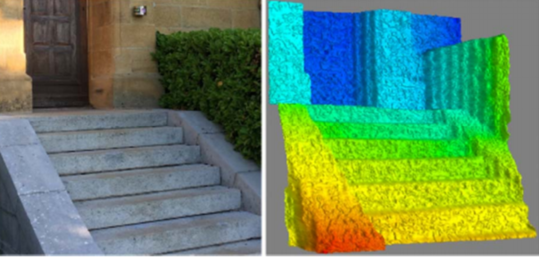
Seeing in a flash
Two images of the same front steps: one taken with a camera and the other with a flash imaging ‘lidar’, the laser equivalent of radar, under development for future space missions.
This image was acquired by the CECILE prototype lidar, developed with the Swiss Center for Electronics and Microtechnology, CESM, Fondazione Bruno Kessler, FBK, in Italy, Visitech in Norway and the German Aerospace Center, DLR.
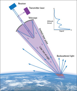
Lidar stands for ‘light detection and ranging’, with a pulsed laser beam scanning targets by measuring the time it takes for the light to bounce back. The wavelength of light is so much shorter than that of radio waves – measured in billionths of a metre rather than centimetres – that lidar provides much more precise measurements. On Earth lidar is employed widely for autonomous vehicles, helping them to judge distance and identify obstacles.
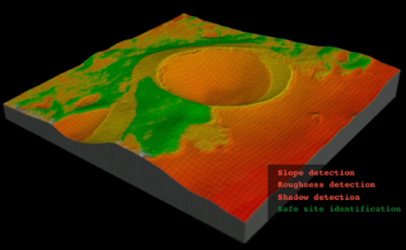
Flash imaging lidar means the 3D image of the target is generated in one single shot from a 2D grid of detecting elements, in contrast to the traditional scanning approach based on moving parts. The result is a faster acquisition time, with decreased sensitivity to vibration or target motion - and lower mass and volume making it easier to embark in space.
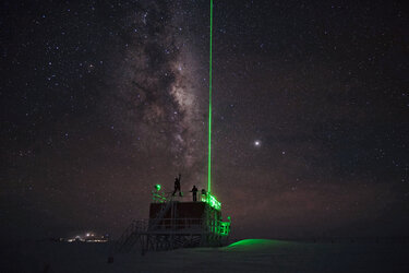
ESA is interested in lidar technology to acquire high-resolution views of landing zones on the Moon or other planets, or to assist with orbital docking manoeuvres baselined for the international Mars Sample Return endeavour.