
ESA probing navigation via the quantum realm
ESA’s NAVISP programme – helping to invent the future of European navigation – is probing the science of the very small. The aim is to employ hyper-sensitive quantum technology-based sensors as supplementary navigation solutions, including tracking local variations in gravity that could be matched onto regional and global gravity maps.
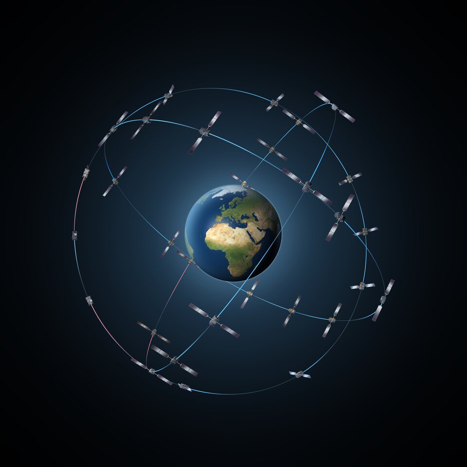
The entire Galileo system including all its satellites and ground infrastructure might be considered as one single planet-sized clock, stretching a little less than 60 000 km in scale. The extreme accuracy of the ‘Galileo System Time’ generated by this clock enables ranging based on signal travel time, achieving metre-scale positioning.
But satellite navigation, whether from Galileo, GPS or other equivalent systems, possesses inherent limitations. Its signals are prone to natural or human-made interference. There are also many places where these signals simply do not reach: deep underground, under the sea, in forests or simply city centre ‘urban canyons’.
So researchers are looking for additional positioning solutions to supplement or substitute for satnav as needed. In place of planet-hugging satellite constellations ESA’s Navigation Innovation and Support Programme (NAVISP) includes research into the opposite extreme in scale – in the shape of quantum technology.
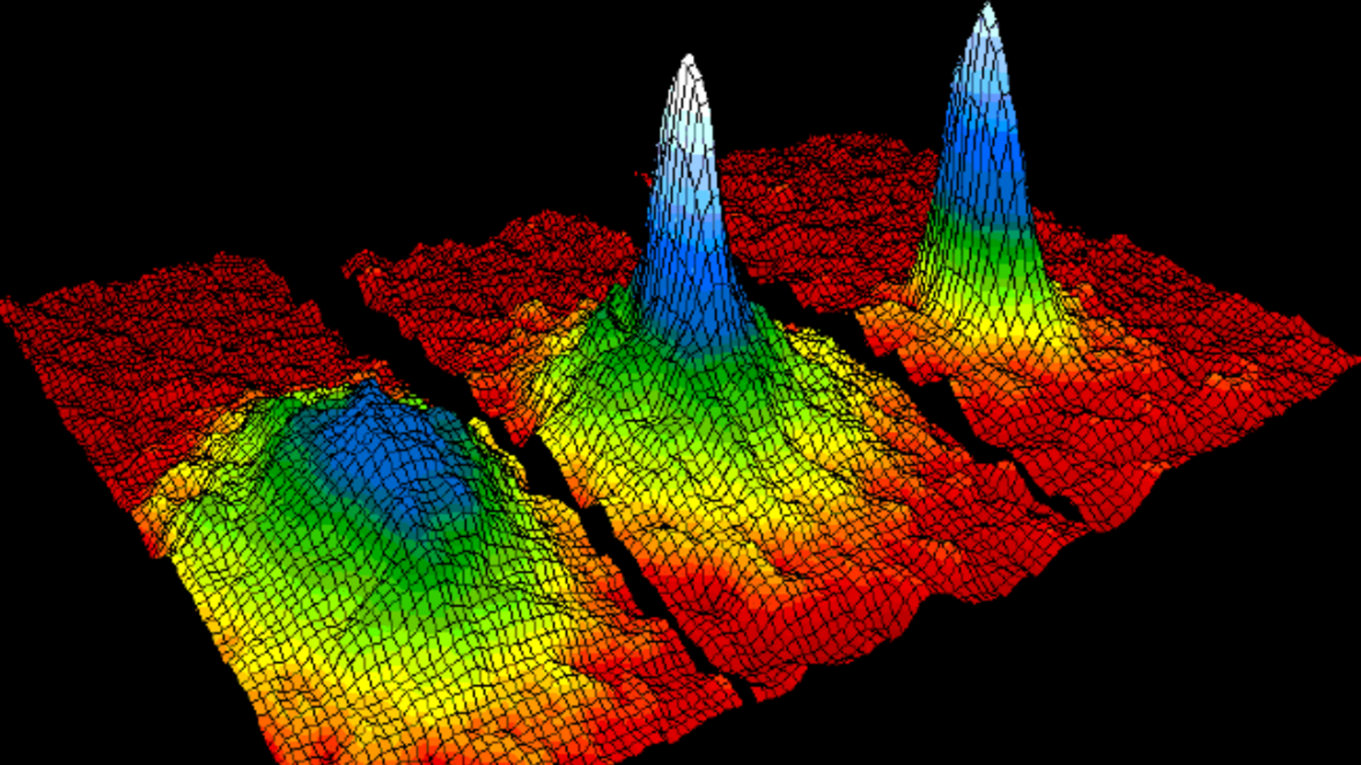
Isolate a sampling of atoms and they start behaving in very different ways from everyday matter, such as simultaneously existing in more than one state at once. Quantum technology utilises such exotic behaviour in various ways – including the creation of ultra-sensitive sensors.
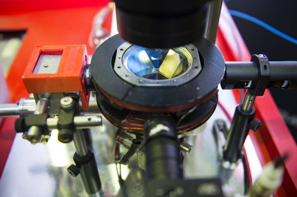
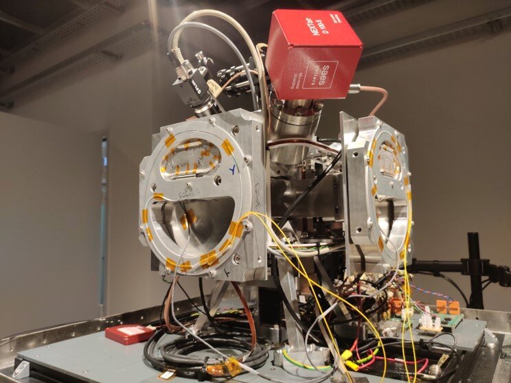
Cold Atom Interferometers (CAIs) are based around a few hundred thousand atoms at a time, trapped by a combination of lasers and magnetic fields.
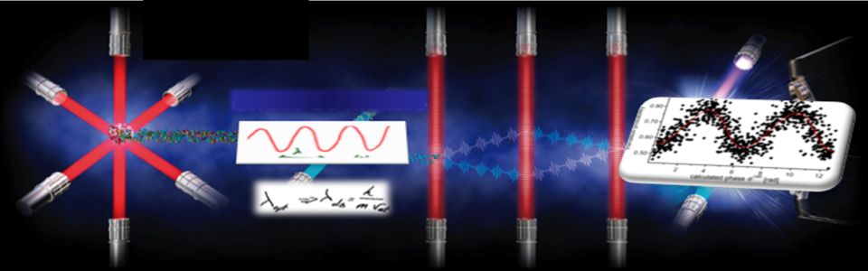
Atoms freefalling in ‘quantum superposition’ – meaning they are existing in several separate quantum states at the same time – are then interrogated by a laser to derive their interference patterns – revealing for instance gravity or other forces acting upon them. CAIs and comparable quantum technology can operate independently from satellite navigation with extremely high performance levels – the challenge is to get them working reliably and robustly outside of lab environments.
Inertial navigation company iXblue is leading a NAVISP project consortium to develop a compact 3-axis CAI sensor, aimed for use aboard boats, aircraft and boats as well as at fixed sites.

This could be used both on a dead reckoning basis – to accurately tote up all subsequent movements relative to its starting point, without the gradually accumulated drift of classical inertial sensors – and also to fix positions, such as by matching local gravity to a detailed gravity map.
The design harnesses the latest micro-electronics and optics, as well as internal correction systems to overcome the harmful effects of external vibration or rotations on the devices.
A weakness of past quantum devices is a post-measurement ‘dead time’ when a new atom cloud needs to be cooled and isolated. The sensor avoids this by incorporating a mechanical accelerometer into its design.
“This hybridisation of classical and quantum sensors serves to increase the dynamic range of the measurements,” comments Baptiste Battelier of CNRS Laboratoire Photonique, Numérique et nanosciences at the University of Bordeaux, participating in the project. “In addition it allows a quantum measurement of the vector acceleration along any random orientation, performed for the first time using a CAI sensor.”
NAVISP’s Quantum Wayfarer project led by Teledyne with the Unversity of Liverpool has meanwhile modelled the feasibility of gravity map matching in practice.
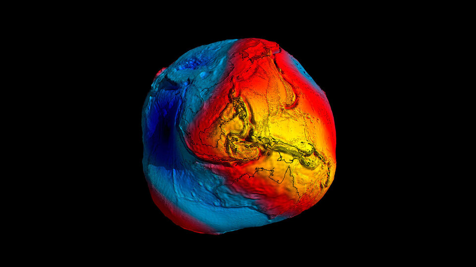
Mapped globally from orbit by several spacecraft, most recently by ESA’s GOCE (Gravity field and Ocean Circulation Explorer) mission, local gravity levels are influenced by multiple variables including Earth’s rotation, surrounding topography, geology and human-made features.
The best baseline gravity maps would deliver a current 90 m in accuracy, potentially improvable to 30 m in the near future – and might also be combined with other reference sources such as magnetic field mapping.

The Wayfarer project also found that areas of very high gravity gradient variation – such as mountainous California – saw higher precision compared to the opposite, such as the flattish Noordwijk in the Netherlands.
However, a more sensitive CAI gravimeter would in turn produce a higher frequency of gravity gradient measurements, producing further improvements in map matching in turn – potentially following the ‘simultaneous localisation and mapping’ SLAM approach developed for robotics navigation, where maps are created by a robot at the same time its movement is tracked.
"These two very interesting projects were performed under the NAVISP Element 1, whose main goal is to generate innovative concepts, techniques, technologies and systems linked to the Position Navigation and Timing sector, along the entire value chain," explains Stefano Binda, NAVISP Element 1 Manager at ESA.
"Other quantum technologies are also being assessed by NAVISP, including quantum communications for authentication and time and frequency transfer, optical atomic clocks based on light rather than radio frequency emissions and quantum computing."


Access the video