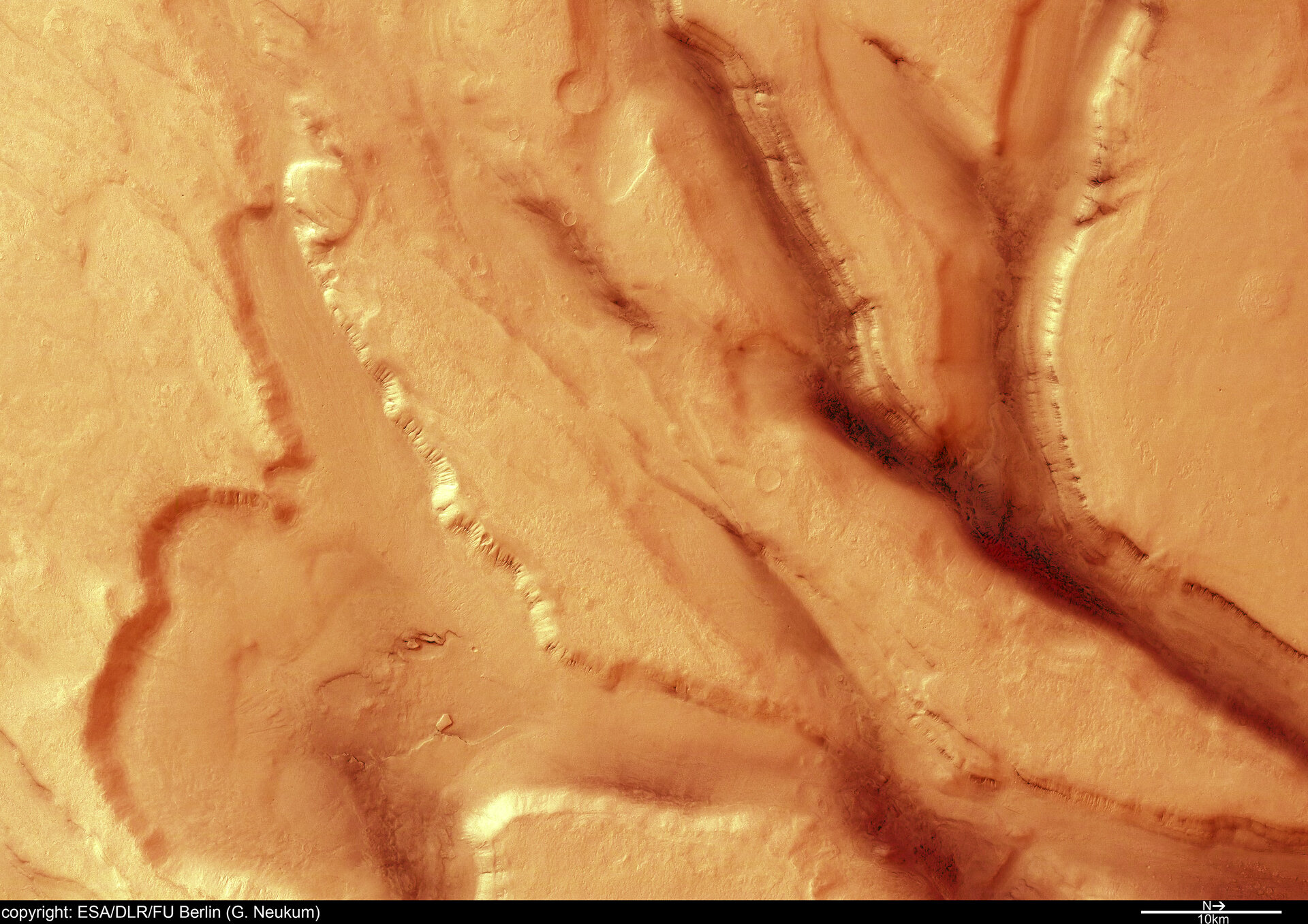
Extensional tectonics in Tempe Terra
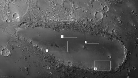
‘Grabens’ in Tempe Terra, a geologically complex region that is part of the old Martian highlands. Grabens are depressed blocks of land bordered by parallel faults, and have tectonic origin. The valleys and grabens are 5 to 10 kilometres wide and up to 1500 meters deep. Along the graben flanks, the layering of the bedrock is exposed. Tectonic processes have led to the development of these grabens. After the tectonic activity, other processes reshaped the landscape. In the scene, the results of weathering and mass transport can be seen. Due to these processes, the surface has been smoothed, giving formerly sharp edges a rounded appearance.
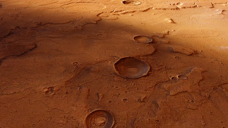
The Tempe Terra region of Mars displays a complex geologic history; the image was taken just west of the Barabashov crater and covers the transition zone between the old Martian highlands to the south and the geologically younger northern lowlands.
The HRSC camera on board ESA’s Mars Express obtained these images during orbit 1180 on 19 December 2004 with a ground resolution of approximately 16.5 metres per pixel. The data were acquired in the region of Northern Olympus Mons, at approximately 48.5° North and 288.4° East.
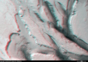
3D anaglyph view of grabens in Tempe Terra
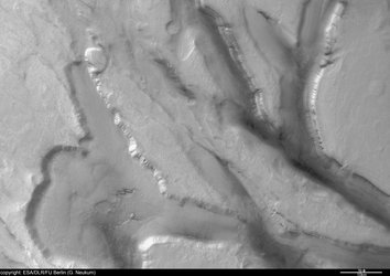
Black and white nadir view of grabens in Tempe Terra
Features in Orcus Patera on Mars

Acidalia Planitia and Tempe Terra transition