United space in Europe
Sentinel-1B’s first image
Applications

Sentinel-1B’s first image

28/04/2016 13539 views 152 likes 359682 ID
  • HI-RES JPG [633.55 kB]
  • HI-RES TIF [70.40 MB]

Thank you for liking

You have already liked this page, you can only like it once!

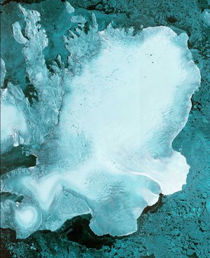
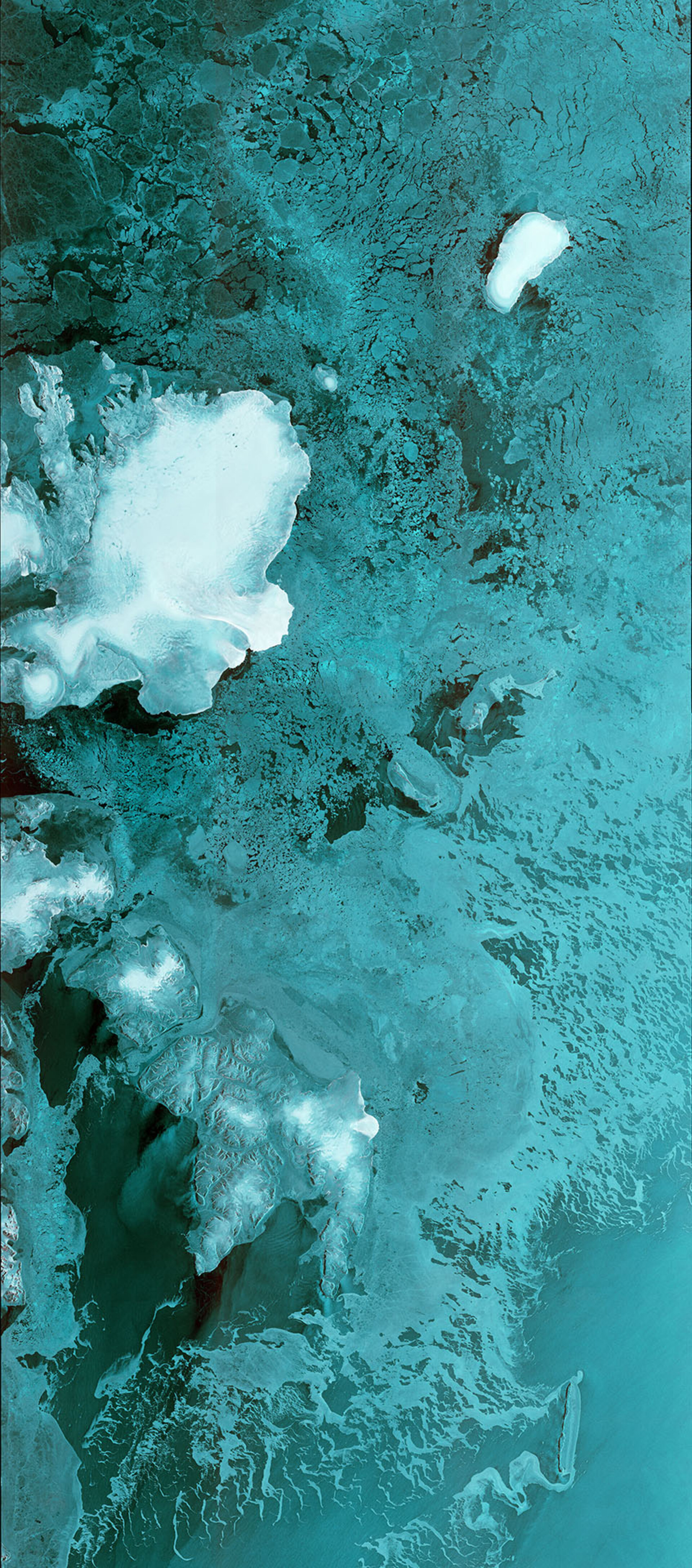
Sentinel-1B’s first data strip stretches 600 km from 80°N degrees through the Barents Sea. The image, which shows the Norwegian Svalbard archipelago on the left, was captured on 28 April 2016 at 05:37 GMT (07:37 CEST) – just two hours after the satellite’s radar was switched on. Sentinel-1B lifted off on a Soyuz rocket from Europe’s Spaceport in French Guiana on 25 April at 21:02 GMT (23:02 CEST). It joins its twin, Sentinel-1A, to provide more ‘radar vision’ for Europe’s environmental Copernicus programme.

Read article: Sentinel-1B delivers

  • Contains modified Copernicus Sentinel data [2016], processed by ESA, CC BY-SA 3.0 IGO
  • Observing the Earth
  • Sentinel-1
Paired Sentinel-1 interferogram
Applications

Paired Sentinel-1 interferogram

Image 837 views 9 likes
Austfonna ice cap
Applications

Austfonna ice cap

Image 2678 views 17 likes
Slice of Europe
Applications

Slice of Europe

Image 1421 views 6 likes
Greenland swirls
Applications

Greenland swirls

Image 3524 views 25 likes
Karavasta Lagoon, Albania
Applications

Karavasta Lagoon, Albania

Image 2475 views 11 likes