

Navigating the sea from space with innovative technologies
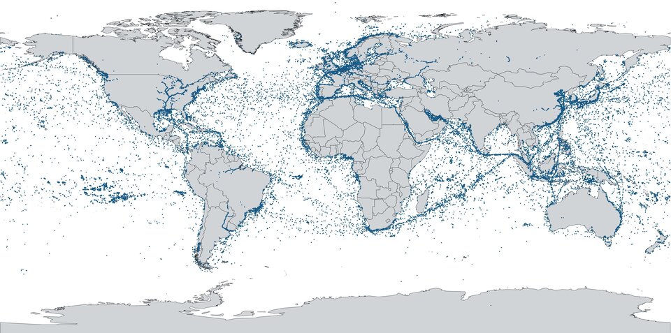
Shipping is the most energy efficient form of transport, and more than 80% of goods traded globally are carried via the oceans, with a doubling in volume during the last quarter of a century. Recognising the global need for seamless maritime navigation, ESA’s Navigation Innovation and Support Programme, NAVISP – inventing the future of navigation with more than 200 R&D projects initiated to date – is therefore focused not only on the land but also the sea.
Autonomous berthing for safer ports
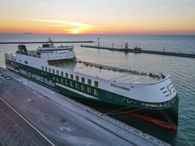
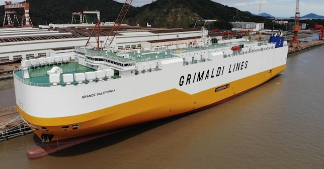
Satellite navigation, or more generally Positioning, Navigation and Timing (PNT) data, has for years influenced and transformed developments in the maritime transport sector to increase efficiency and safety. To further support and accelerate this transformation, ESA’s NAVISP has begun a partnership with Italy’s Grimaldi Group – one of the largest shipping company groups in the world with a fleet of about 130 ships.
With a coastline of 8 700 kilometres and its strategic location in the Mediterranean Basin, Italy holds an important position within the European blue economy. Italy’s own blue economy, with maritime transport as the most important segment, generated over $145 billion in 2021, equivalent to 10% of the country’s GDP, with more than 225 000 companies employing over 900 000 workers. Accordingly, the efficiency of its ports has a direct impact on the wider economy.
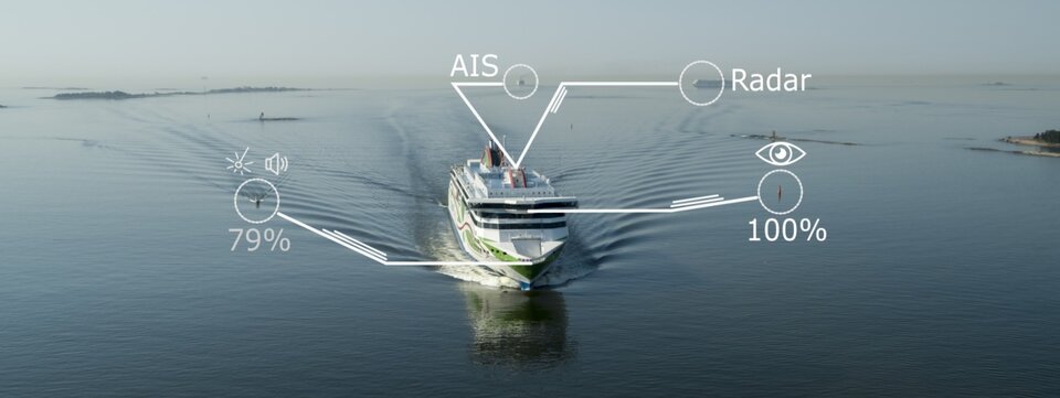
NAVISP's Grimaldi Satellite Assisted Berthing project (GSAB) project therefore aims to develop and validate the first satellite-based guidance system for docking manoeuvres of large vessels purpose-built for the transport of large numbers of lorries and passenger vehicles.
The project will make use of the latest innovations on satellite-based multi-sensor technologies, contributing to improve the efficiency of manoeuvres in the port to increase safety while reducing CO2 emissions in line with ensuring a greener and safer maritime transport sector.
Cosimo Cervicato, Senior Executive Engineer from the Grimaldi Group, states: “Increase of capacity, safety and reduction of pollution – that are the main drivers for sustainable maritime operations and ports. Autonomous berthing represents the next frontier for optimising maritime operations and to increasing the efficiency of ports.”
Navigation in coastal areas as well as mooring in harbours is particularly challenging, explains ESA systems engineer Felix Toran: “Maritime operations in ports are very demanding in terms of navigation performance, that cannot be met by navigation systems like Galileo or GPS alone. It becomes crucial to fuse such systems with other PNT sensors, in order to achieve the required performance levels to allow this kind of operations. The GSAB system will support safer and faster manoeuvring and docking by allowing large ships access to ports.”
Grimaldi will coordinate an international team in collaboration with Kongsberg, an industry leader based in Norway which specializes in the design of processing and signal reception technology. Additionally, the Grimaldi Group will collaborate with Italy’s Radiolabs Consortium which will take care of the design, execution and validation of the system in real-world operating conditions.
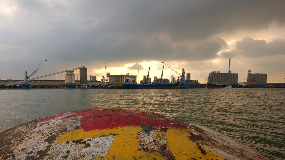
Felix adds: ”The project is divided in two phases. The current NAVISP activity covers the design and development activities, the installation of the sensors in a ‘Ro-Ro’ roll-on, roll-off vessel, and a test readiness campaign. In the second phase, field tests will be executed with the equipped ship in the Grimaldi facilities in the Port of Antwerp-Bruges, Europe’s second largest seaport.”
Seaborne sensor fusion
Other NAVISP projects are also looking seaward: the Finland-based Artificial Intelligence / Machine Learning Sensor Fusion for Autonomous Vessel Navigation aims to apply artificial intelligence (AI) can be applied to achieve autonomous situational awareness, so that a ship can reliably sense its own environment.
Its focus is on investigating the fusion of data from multiple ship-borne sensors for the detection and tracking of moving objects during navigation and manoeuvring along with researching proactive and reactive methods of collision avoidance, adapting strategies from the automotive and aerospace industries.
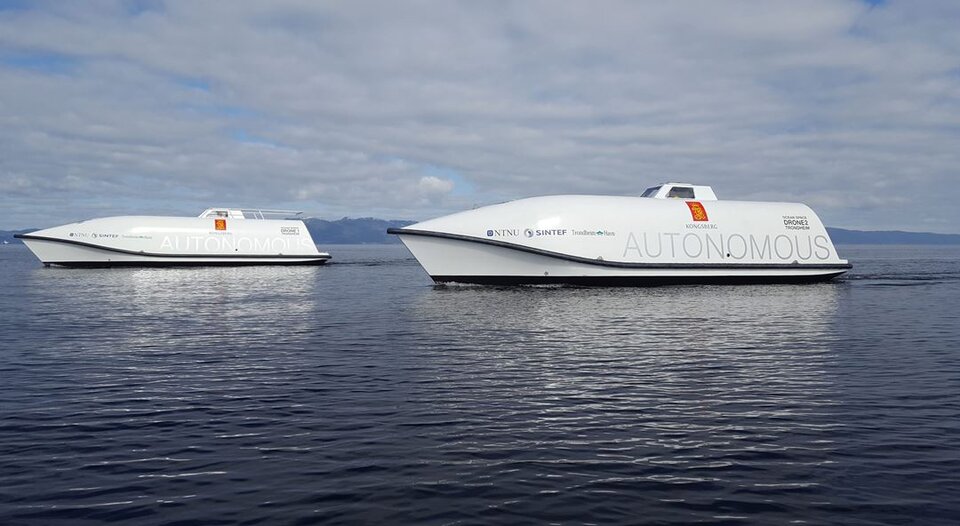
NAVISP has also been working with Norwegian research institute SINTEF and Kongsberg subsidiary Kongsberg Seatex on the development of the world’s first test site for autonomous shipping – the Trondheimsfjorden Autonomous Vessel Test Area.
About NAVISP
ESA navigation specialists are supporting cutting-edge European companies in the development of new navigation technologies and services – in support of Europe's industrial competitiveness, autonomy and leadership. The result is ESA’s Navigation Innovation and Support Programme, NAVISP.

NAVISP is looking into all kinds of clever ideas about the future of navigation: ways to improve satellite navigation, alternative positioning systems and, new navigation services and applications.
At next week’s ESA Council at Ministerial Level, ESA Director General Josef Aschbacher will seek support for a new, third phase of NAVISP, together with support for a new FutureNAV programme.


Access the video