Omar Sy: System, Engineering and Operations Manager
Heading a team of engineers, Omar Sy is responsible for the satellite design, development, verification and in-orbit performance. He is also responsible for the implementation of the Vega Sentinel2-A launch services with Arianespace. He will lead the in-orbit verification campaign, including the optical communication payload commissioning in cooperation with the DLR German Aerospace Center, after the ‘launch and early orbit phase’.
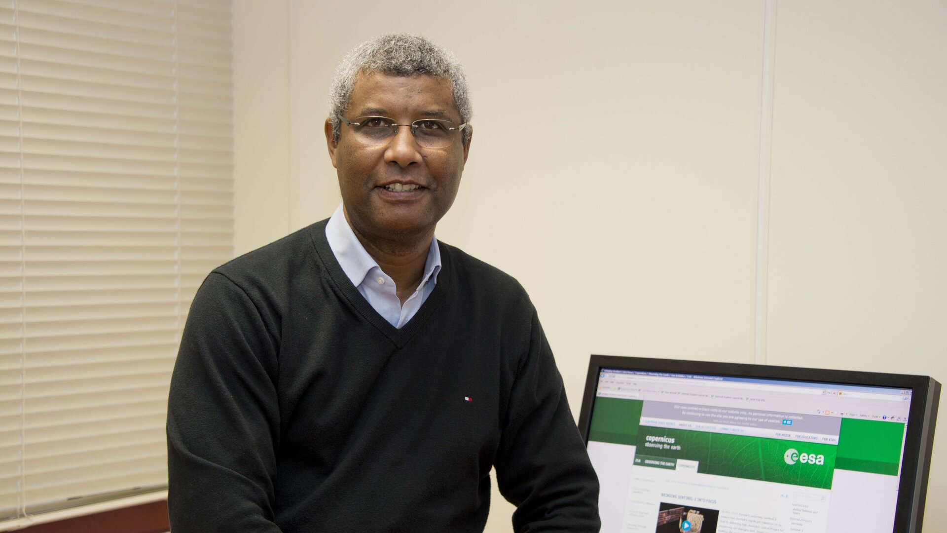
Omar Sy, a French national, graduated as an engineer in 1987. He began his career in the space industry at the former Fokker Space and Systems working on ERS-1.
He joined ESA’s European Space Research and Technology Centre, ESTEC, in the Netherlands in 1991 and worked on the Polar Platform, Envisat and MetOp-A before becoming the System, Engineering and Operations Manager for the Sentinel-2 project in 2007. In the 2000s Omar also worked at Eumetsat for three years.
ESA: Can you briefly explain what your job involves?
Omar Sy
I am leading and managing the Sentinel-2 System, Engineering and Operation team which covers a large spectrum of system activities at satellite, launcher and ground segment level. My team and I ensure that the Sentinel-2 system requirements are met during the development, verification and in-orbit commissioning. I also interface with DLR for the Optical Communications Payload (OCP), which is an in-kind contribution from DLR, and the European Data Relay System (EDRS) project to establish the basis for the delivery of a reliable data relay service to the Sentinels. In day-to-day activities, I also act as Deputy Project Manager to the Project Manager, Francois Spoto, on cost, schedule and programmatic issues.
ESA: Can you describe the satellites, and how they differ from other Earth observing missions?
Omar Sy
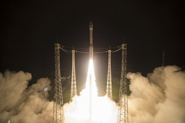
The mission comprises two identical low Earth orbit (LEO), Sun-synchronous satellites orbiting at a mean altitude of 786 km. In orbit, they will be separated by 180°, Sentinel-2A was launched in June 2015 and Sentinel-2B will be launched in 2016. Both satellites have a planned lifetime of seven years that could be extended by another five. Each 1.1 tonne satellite carries a multispectral instrument to acquire optical images, ranging from the near-visible to the shortwave infrared regions of the electromagnetic spectrum in a total of 13 spectral bands. The instrument has a swath width of 290 km and spatial resolutions of 10, 20 or 60 m. In addition, each satellite is equipped with an OCP for optical data relay to the ground via EDRS, complementing the X-band space to ground communication.
In essence, the Sentinel-2 mission is the optical land-observing component of the Copernicus programme, offering continuity of the Landsat and Spot missions with improved capabilities in terms of unprecedented swath width, high spatial resolution, high number of spectral channels and short revisit time. When both satellites are in orbit they will cover all Earth’s land surfaces between northern of Greenland and South America in five days, including large islands, coastal waters and lakes.
ESA: From an engineering perspective, what have been the main challenges developing the Sentinel-2 satellites?
Omar Sy
Precision optics, ultra-stable detection and video chains, precise optical filters, very high satellite stability control, very stringent position and attitude knowledge, together with a large on-board data storage capability (6 Tbit non-volatile NAND FLASH memory size) were the main challenges we faced during the design, development and verification phases in order to meet the user requirement for the delivery of high-quality images.
ESA: The mission carries a high-speed laser link for additional data delivery; can you explain how this works?
Omar Sy
The OCP serves as optical data interface between the Sentinel-2 satellite and the counter ‘laser communications terminal’ carried on EDRS in geostationary (GEO) orbit. This system complements Sentinel-2’s data X-band downlink. The precise knowledge of the position and attitude of the partner satellite is needed to establish a successful inter-satellite optical data transfer over a distance of 35 000 km. The Ka-band link from the GEO satellite then used to relay the Sentinel-2 data to ground and make them available to the Sentinel-2 Payload Data Ground Segment. The goal of the LEO–GEO link is to increase the volume of data that is downlinked per orbit and to improve the speed at which it is downlinked to Earth.
ESA: What have been the most rewarding aspects of working on the mission?
Omar Sy
Twofold: my current position has given me the opportunity to play a key role in most of the technical, people management and programmatic aspects of the project throughout its B2, C/D and E1 phases. It has also allowed me to contribute to the establishment of the Sentinel-2 high-resolution capabilities that will benefit the unique, long-term, global monitoring Copernicus programme.
Editor's note:
This is one in a series of interviews with a few of the key people that are involved in the Sentinel-2 mission. Please check back as further interviews will be added to over the coming weeks.