Join ESA’s virtual workshop on 5G plus satnav
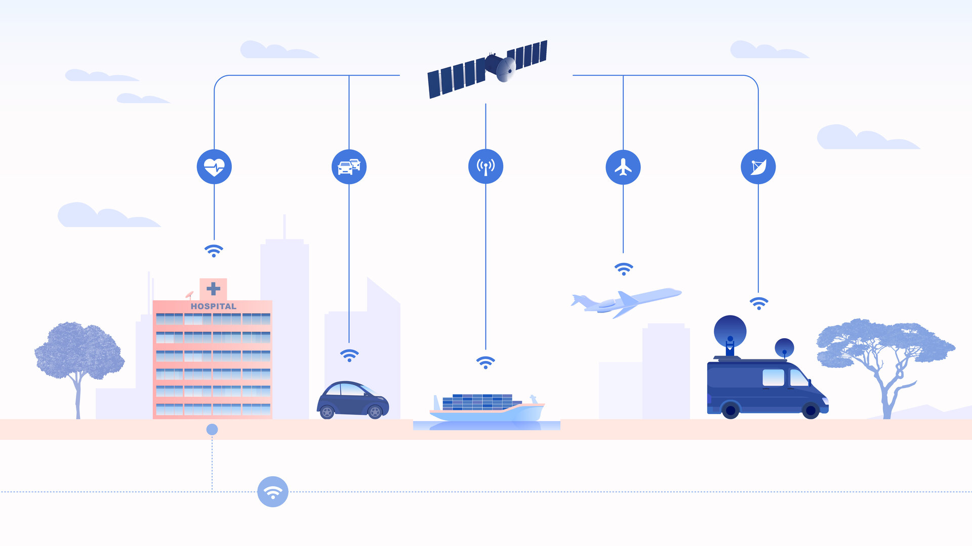
The coming of 5G promises much more than simply better-than-wi-fi smartphone connectivity; it should enable a wide range of novel services, including asset tracking, autonomous driving and drone flying as well as the internet of things. Highly precise localisation is needed to make such innovations feasible however. ESA has led a major project assessing the potential of 5G and satellite navigation in combination and next month a webinar will make its initial findings public.
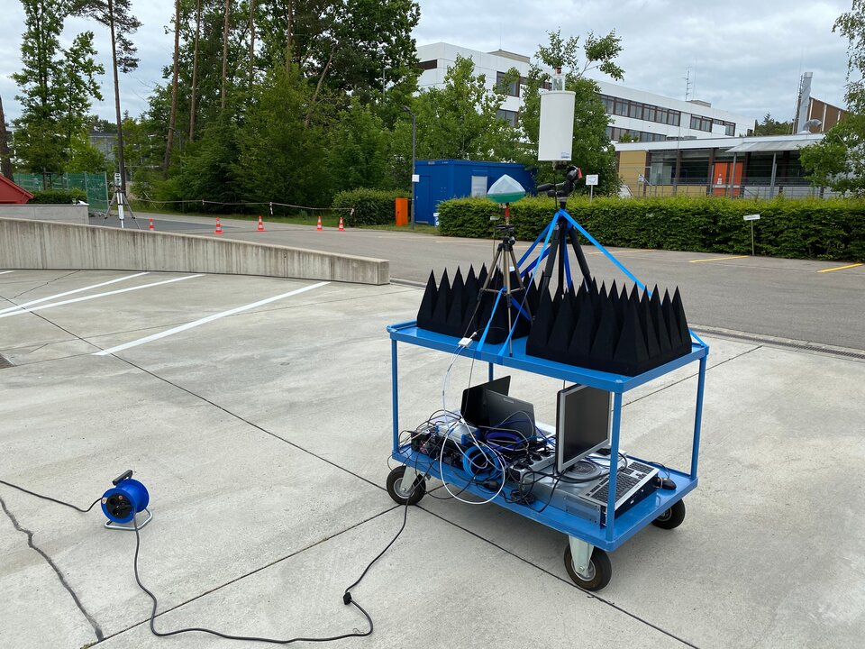
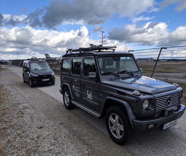
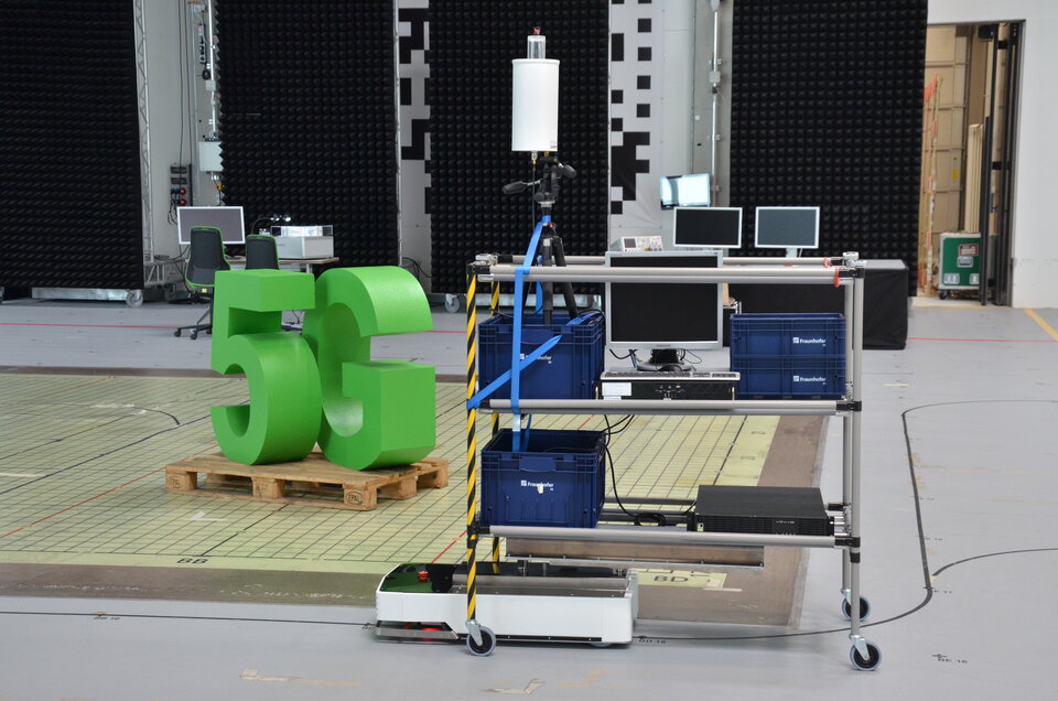
The GNSS Integration into 5G wireless networks or GINTO5G project was initiated by ESA in 2018 and carried out by an international consortium. A combination of field tests, lab experiments and virtual simulations have explored the benefits of fusing Global Navigation Satellite Systems (GNSS) like Europe’s Galileo with 5G into a hybrid positioning solution.
Now, with GINTO5G entering its final stretch, a free virtual workshop co-sponsored by ESA and project leader GMV will communicate its achievements, taking place on 12 March. For further details, including how to register, see below.
Cellular networks have been used to perform positioning since the mid-1990s, in the event of emergencies, by triangulating from nearby cell towers. Nowadays we all benefit from much more precise positioning thanks to GNSS receivers inside our smartphones.
But in fact our phones still use cellular data, along with maps of wi-fi coverage, to sharpen their localisation performance. Turn off your wi-fi and your mobile data and your phone’s positioning will grow noticeably less accurate.
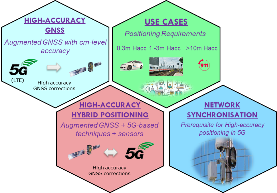
5G will offer enhanced positioning capabilities, thanks to its adoption of higher frequency signal bands to deliver wide bandwidth, low delay communications. In addition the shorter range of these higher frequency bands also demands a dense infrastructure of base stations, making possible the easy triangulation of user positions by calculating the time and angle of signals.
Indeed, positioning is likely to become an inherent part of 5G infrastructure, enabling optimal use of bandwidth across a given area, including the use of steerable antennas for 5G ‘New Radio’ base stations and user terminals.
In practice, for seamless performance across different environments – outdoor to indoor, urban to rural – GINTO5G findings suggest the best positioning performance will come from intensifying the current hybrid trend, combining 5G with GNSS along with additional solutions such as localised correction systems and inertial sensors.
“The GINTO5G project marks an impressive landmark in state-of-the-art navigation technologies as it shows the potential of GNSS and 5G” says Florin Grec, ESA´s Technical Officer for the project.
“As far as we are aware, this is the first and only European measurement campaign with GNSS and genuine 5G positioning signals” remarks Francisco Jose Mata Aroco, GINTO5G Project Manager at GMV.
Register for the GINTO5G virtual workshop
The workshop on 12 March will take place from 09:30 to 12:30 CET. This event is free to attend and can accommodate maximum 1000 participants. It will also be recorded and provided on-demand.
For registration to the webinar, click here.
About GINTO5G
GINTO5G has been supported through ESA’s European GNSS Evolution Programme (EGEP), as an Agency contribution to the worldwide 3rd Generation Partnership Project, 3GPP, standardisation effort.
The project is overseen by GMV (Spain) which coordinates a consortium of world-class experts in the field of navigation and communications: Fraunhofer IIS (Germany), DLR (Germany), Universitat Autonoma de Barcelona (Spain), u-blox (UK), Telefonica I+D (Spain).
For the field tests, ESA and GMV set up a collaboration with Deutsche Telekom (Germany), which provided information about its telecommunication network, and Hexagon | NovAtel (Canada), which provided state-of-the-art GNSS equipment and access to modern corrections services.
Exploring 5G for navigation products and services
This activity paved the way in turn for a Thematic Open Call on 5G PNT funded by NAVISP Element 2, aimed at developing prototype products and services to demonstrate the capability of 5G as a positioning system. Find out more in this article, or watch our webinar on the Open Call.

Access the video