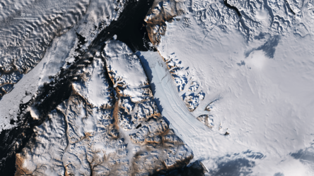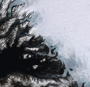
Climate change - Monitoring glaciers
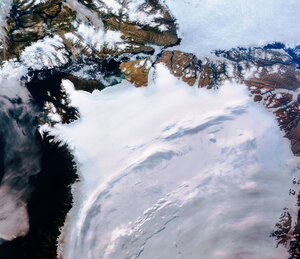
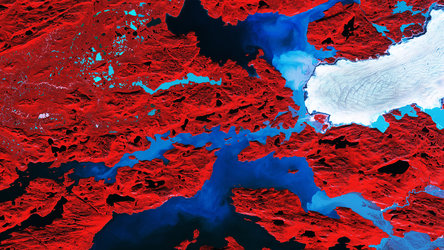
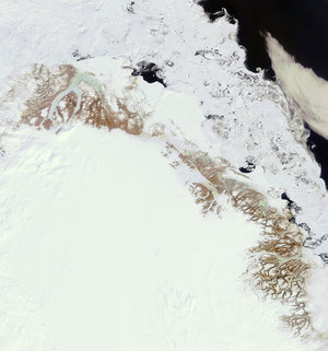
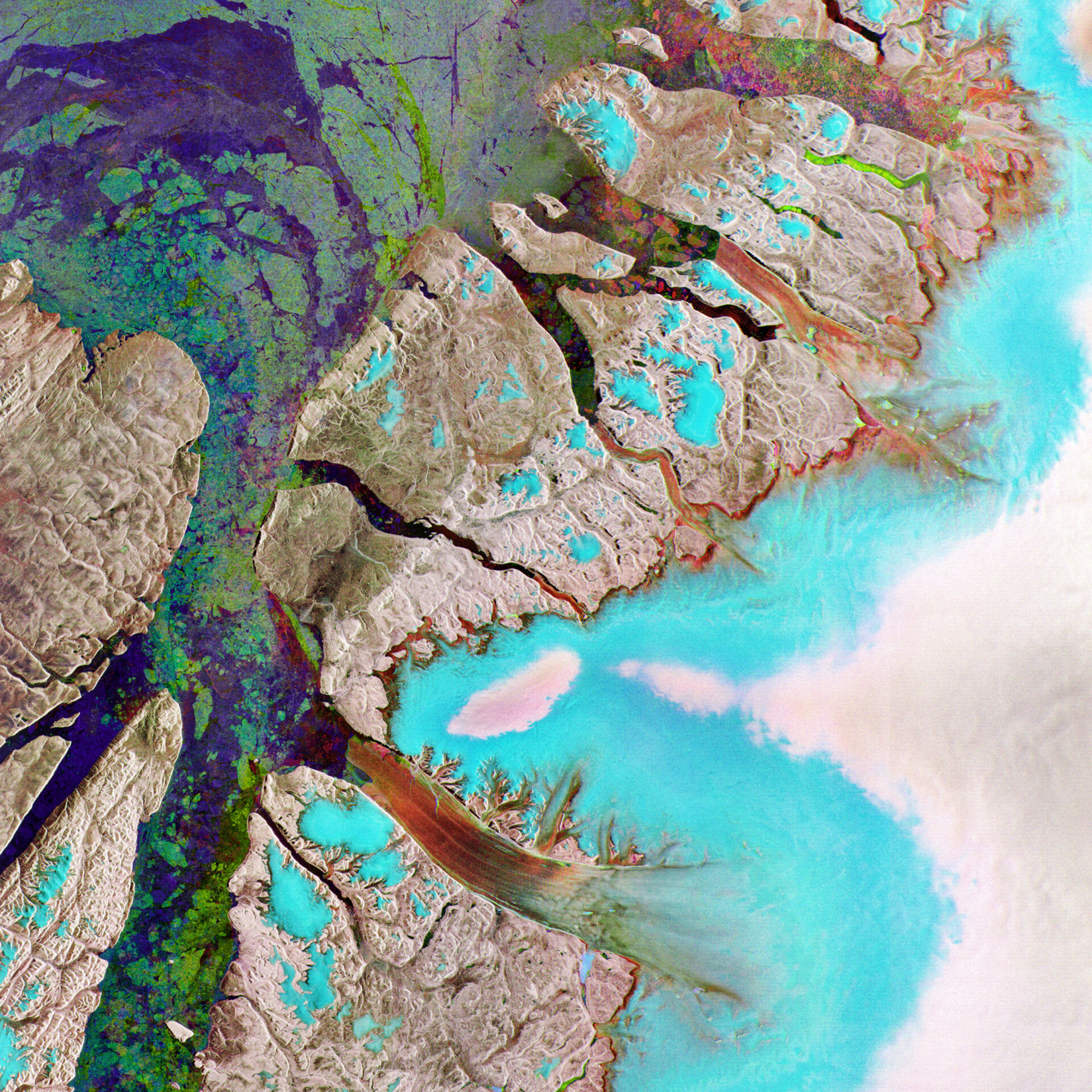
This Envisat radar image features the northeastern tip of Ellesmere Island (left) in the Canadian Arctic and northwestern Greenland (right) – the world’s largest island.
The aqua blue and white-coloured areas on the right side of the image show a portion of the Greenland Ice Sheet, the second largest concentration of frozen freshwater on Earth after the Antarctic Ice Sheet.
In reddish colours, the Northern Hemisphere's longest-floating glacier, Petermann, can be seen stretching across the centre of the lower part of the image and emptying into Nares Strait. Petermann Glacier lost a 29 km² between 10 July and 25 July 2008.
If the Greenland Ice Sheet were to melt completely, the global sea level would increase by up to 7 m, making it vital to monitor the height of ice sheets and the rate at which they are melting.
Satellite data from 1996-2005 found that Greenland's glaciers were dumping twice as much ice into the Atlantic every year as they did in 1996.