Germany
 Austria
 Belgium
 Denmark
 Spain
Spain
 Estonia
 Finland
 France
 Greece
 Hungary
 Ireland
 Italy
Italy
 Luxembourg
 Norway
 The Netherlands
 Poland
 Portugal
 Czechia
 Romania
 United Kingdom
 Slovenia
 Sweden
 Switzerland


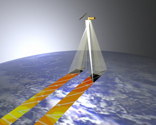
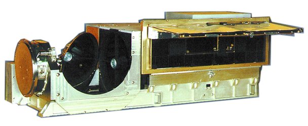
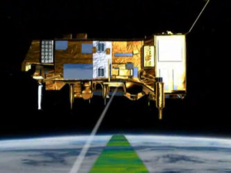
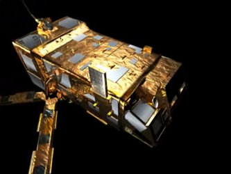
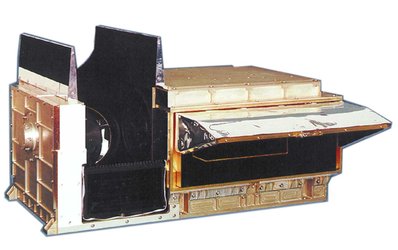
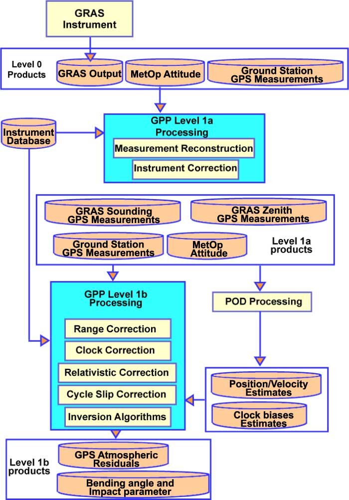
GRAS ground processor prototype
The GRAS GPP is a Ground-based software tool devoted to compute level 1b products (mainly bending angle and impact parameter) from the carrier phase measurements measured by the instrument. First step is to demultiplex the data and perform the instrument compensation using characterisation data measured before launch. Compensated carrier phase measurement will then be corrected for geometrical distance between the transmitter and receiver positions and for clock errors to build the residual atmospheric phase. Accurate positions of both GPS spacecrafts and the MetOp satellite are obtained using Precise Orbit Determination facilities that also provide clock error information.
Transformation to Doppler measurement and retrieval algorithms will provide the atmosphere contribution in terms of a ray-bending angle. Two retrieval methods will be used, Geometrical Optics for Stratosphere and higher part of the Troposphere, and Back Propagation to cope with diffraction effect in the Troposphere.
Verification of GPP is performed in two steps:
- Interface between instrument outputs and GPP processing is verified using real data from the instrument
- Performance is assesed by developing a test software simulating all the environment (atmosphere, ionosphere, clocks, orbits, propagation, ground stations, receiver) with errors associated